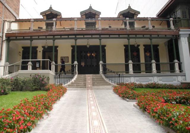
Beautiful


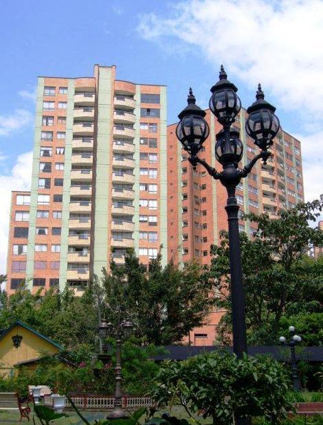
Bello, Antioquia, Colombia
Suggest Place to Visit
956
Track to location with GPS |
 |
According to the chronicles, it was in July 1541 when troops under the command of Jerónimo Luis Tejelo (Lieutenant of Marshal Jorge Robledo) found the wide valley of Los Aburrá, indigenous farmers who had “a habitat organized by groups with scattered houses, forming groups of houses ”. This happened especially in the town of Niquías, who occupied the territory that today is called Bello.
In 1574, the Spanish subject Gaspar de Rodas asked the Santa Fe de Antioquia town council to grant land over the Aburrá Valley to establish "Cattle Herds and Food Stays" and provide food for the conquering company. The territories were awarded from the hill or "Old Seats of Aburrá" -extension that today occupies the Center of Medellín- downwards, including the Niquía territory. In 1576 the captain of Rodas entered to exercise his dominion and that of the Spanish Crown, with the use of the territory as corrals, ranches and herds. From 1613 it began to be called Hatoviejo instead of Hato de Rodas or Hato de Aburrá to distinguish it from other later herds.
In this context, the colonizers exercised their nobility, understood as "that noble philosophy that reacted against innovations." Thus, they endowed their herds with chapels, to signify prestige and noble origin, and it is thus that it can be inferred that in the neighborhood of Bello there was no foundation that “implied a regular layout of squares and streets. Hatoviejo was not a town like the Villa de la Candelaria was in the beginning ”. The chapels of Our Lady of Chiquinquirá (in 1653), Our Lady of the Rosary (1720), Our Lady of Sopetrán (in Wood, in 1775) and Our Lady of Guadalupe (in Fontidueño, 1761) were built. Later these temples were moved or demolished; as happened with the Parish of Nuestra Señora del Rosario de Hatoviejo, demolished in 1788 to build the Chapel of Hatoviejo in 1792, which is still preserved. At the end of the 18th century, in 1788, Hatoviejo was elevated to the category of party, attached to the Jurisdiction of the Villa de Nuestra Señora de la Candelaria de Medellín.
In Hatoviejo the space was organized according to the economic role of its people. The reference "Calle Arriba and Calle Abajo" was common, taking the square and the Church of Rosario as its central point. On December 28, 1883, the “President Citizen” of the State of Antioquia changed the name of the village of Hatoviejo to Bello, at the request of a group of residents who considered that the name ´´Hato´´ made them despised and humiliated. for being a place for animals. On the other hand, the name of Bello is "More cultured, more proper and more worthy of the great patriarch of American letters" (Don Andrés Bello).
The first decades of the 20th century marked for the municipality its destiny as a recipient of migrants who saw here a hope of work due to the nascent industrialization. The geographical and strategic position not only favored agricultural and livestock activities, but they were a good alternative for the seat of companies of the ascending Medellin bourgeoisie. That in addition to the pleasant climate, the railway line and numerous water sources suitable for consumption and energy generation. In this scenario, the "Compañía Antioqueña de Textiles" was founded in 1902. The Bellavista sector was chosen for the construction of the locative headquarters, due to its proximity to the García stream. This company was merged in 1905 with the "Compañía de Tejidos de Medellín" to mark in this way the industrial vocation of the town and promote an important migratory process for years.
In 1913, Bello already had 5,000 inhabitants and an unusual economic growth, sufficient reasons to access the title of Municipality, a distinction that was obtained by Ordinance 48 of April 29, 1913.
The economic milestone of the municipality was the foundation of the Hato, Fabricato, Hilos y Tejidos Factory, on August 7, 1923. Thus, the textile industrial activity characterized and marked the Bellanita population for several decades. In 1983, a large strike took place in this textile company - supposedly orchestrated by the employers to allow the industrial relocation and the liquidation of workers -, which led to the economic transformation of the municipality, represented mainly in the activity of medium and low complexity services and in the informal economy. In addition to this phenomenon, and in accordance with national policies for the promotion and construction of low-income housing, Bello was the recipient of a large migratory flow from the Aburrá Valley and other areas of the Department that were seeking here the possibility of having their own roof. Except that due to the negligence of the local authorities, this unusual development process was not accompanied by an adequate planning policy that would ensure the proper provision of public, community and equipment services. In other words, the presence and regulatory and assistance function of the State will be noted.
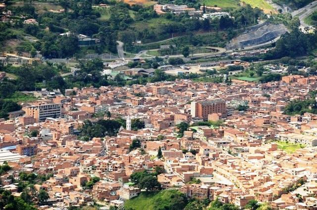
Bello is a municipality in Colombia, located in the Aburrá Valley in the department of Antioquia. It limits to the north with the municipality of San Pedro de los Milagros, to the east with the municipality of Copacabana, to the south with the municipality of Medellín and to the west with the municipalities of Medellín and San Jerónimo.
Appellatives: Empire of Cacique Niquía, birthplace of Marco Fidel Suárez, city of Artists.
Bello is part of the Aburrá Valley, a valley in the Andes Mountains. The city has a total area of 142.36 km² of which 19.7 km² are urban land and 122.66 km² are rural land. This valley is fully urbanized in its flat part, and very busy on its slopes. The valley is crossed by the Medellín River, which runs in a south-north direction, and along its 70 kilometers it receives the tribute of 57 streams.
Topographically, the urban part of the city is an inclined plane that descends from 1,600 to 1,400 meters above sea level. Bello is in the northern part of the valley and the mountains that surround the city are over 2,500 meters high.
The main topographic accident is Cerro Quitasol (pyramidal mountain, 2,880 meters high above sea level), located to the north of the municipality and considered due to its importance as the tutelary hill of Bello.
The city, being located in the torrid zone, does not register seasonal changes in the climate. The average precipitation index is 1,347 mm., And its temperature is determined by thermal floors that go from the moor, through the cold until reaching the middle, where the headwaters is, which has an average temperature of 23 ° C during all year round, interspersing dry and rainy periods and is refreshed by the winds that blow through the valley and blow throughout the year.
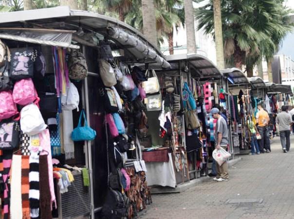
The main economic activities are related to textiles, concentrates, organized trade, informal trade, sand mining and quarrying in the urban area. The rural area is dedicated to agriculture and livestock on a smaller scale.
Both industry and commerce have been representative economic activities in the municipality due to their trajectory and participation in economic growth.
The economic activity of the municipality of Bello is represented in the following sectors according to their levels of participation:
Industrial activity
Textiles 18.30%
Wood, paper and publishing, Chemical products, coal, rubber, mineral products and non-metals 16.92%
Other non-specific industries 14.85%
Basic metal industries machinery and equipment 12.60%
Comercial activity
Retail trade (Includes agricultural production) 61.51%
Hotels and accommodation 26.14%
Transportation, storage and communications 9.60%
Wholesale trade 2.19%
Construction 0.78%
Events
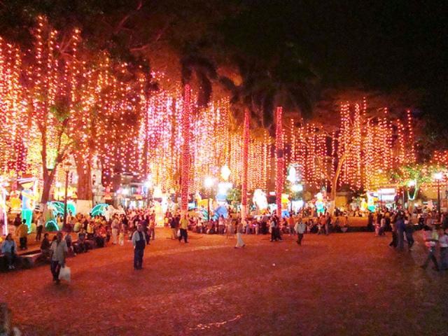
Fiestas de la Antioqueñidad, August 11, on the occasion of the Independence of Antioquia declared by Don Juan del Corral
Bailebravo and Rumba Festival ´´Germán Muñoz Gomez´´
Language Week
Andean music festival Hatoviejo
Encounter of Young Art by Bello.
Cerro QUITASOL festivities from July 16 to July 26
Comments
We don´t have yet any comments about:
Beautiful
Beautiful
Be the first to leave a comment as it is very important to inform other people
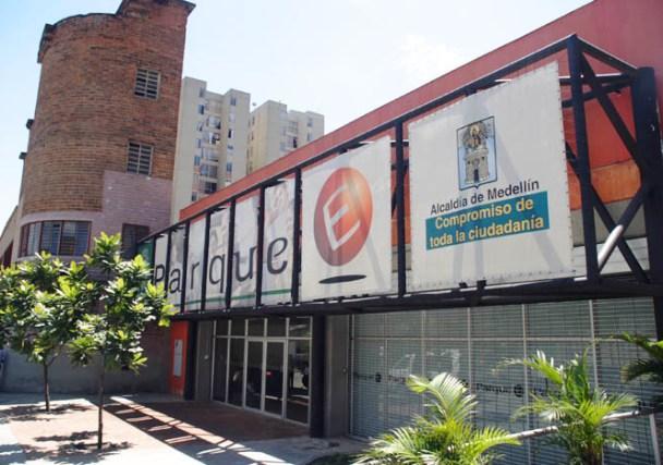
Outros locais a visitar
Within a radius of 20 km from:Beautiful
Copacabana |
| 5,3 Km |
 |
Casa Museu Pedro Nel Gómez |
| 6,9 Km |
 |
Centro de Desenvolvimento Cultural Moravian |
| 7,1 Km |
 |
Parque Norte |
| 7,6 Km |
 |
Aquário Parque Explora |
| 7,6 Km |
 |
Aquário de Medellín |
| 7,7 Km |
 |
Parque Explora |
| 7,8 Km |
 |
Casa de la Música |
| 8,0 Km |
 |
Parque de Empreendimento |
| 8,6 Km |
 |
Catedral Basílica Metropolitana |
| 9,6 Km |
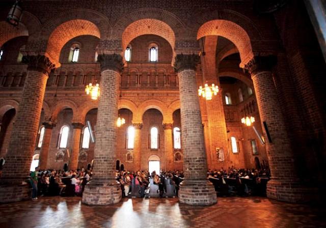 |
Praça Botero |
| 9,8 Km |
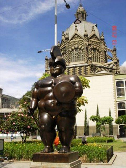 |
Basílica de Nossa Senhora da Candelária |
| 10,1 Km |
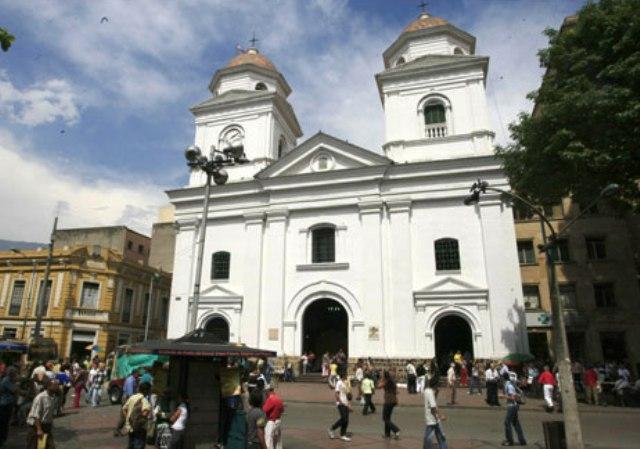 |
Casa Barrientos - Casa da Leitura Infantil |
| 10,2 Km |
 |
clube de praia |
| 10,2 Km |
 |
Centro de Espetáculos La Macarena |
| 10,3 Km |
 |
Boulevard Artesanal San Antonio |
| 10,4 Km |
 |
Biblioteca Epm |
| 10,6 Km |
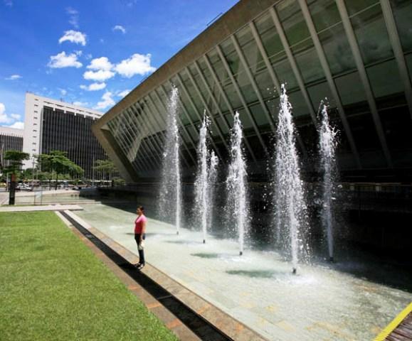 |
Centro Administrativo la Alpujarra «josé María Córdova» |
| 10,7 Km |
 |
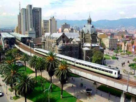
Medellín |
| 11,6 Km |
 |
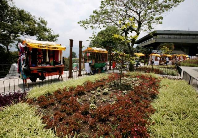
Colina Nutibara |
| 11,7 Km |
 |
Aeroparque Juan Pablo Park ii |
| 13,1 Km |
 |
Girardota |
| 13,6 Km |
 |
Parque Arvi |
| 15,6 Km |
 |
Museu do Castelo |
| 16,4 Km |
 |
Envigado |
| 19,6 Km |
 |
Hotel reservation near Beautiful within a radius of 20 km

Why to book with ROTAS TURISTICAS
The best prices
Our partnerships with the world´s largest operators offer research on the best market prices.
More options
At Rotas Turisticos you can book the hotel, buy the air ticket, book the transfer from the airport to the hotel and vice versa, book the local excursions, rent the car, take travel insurance and consult the places to visit and where to go.
Holiday Tips & Destinations
Hundreds of holiday destinations with all the options that allow you to easily choose the destination that best suits your dream vacation.
ROTAS TURISTICAS
Links
Follow us on social networks


